By Pascal Wauthier, Chairman, the Space Data Association
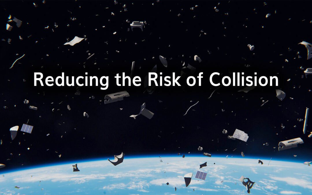
The increasing number of satellites in orbit continues to cause concern for Governments and satellite owners. As more satellites are deployed, they add to the already problematic situation of overcrowding and the ongoing problem of space debris. With satellite communication providers promising faster and cheaper connectivity, achieved through the deployment of multiple satellites within Low-Earth Orbit (LEO), it ultimately means that there is increased risk of damage and collision.
Risks of Collision
With numbers set to increase rapidly in the next decade, the risk of collisions only continues to grow. The current methods of tracking objects in space are not sufficient to eradicate collision risks. It is estimated that there are currently around 500,000 objects as small as 1cm in space, with the number increasing to over 100 million when including even smaller fragments. The risk of collisions stands in all orbital regimes, although it is particularly concerning in LEO for a number of reasons:
- LEO is already the most debris-filled region.
- The number of LEO satellites is set to increase ten-fold in the next few years. The more objects in space, the greater the risk of collision.
- There is much less adherence to end-of-life guidelines than in GEO, meaning many more satellites will remain in orbit after operation for a few dozen years.
- There is a lack of capability to perform effective and timely collision avoidance manoeuvres (due to lack of on-board propulsion systems for example) for many LEO satellites.
Current systems aren’t adequate enough to provide accurate data to either warn the Operator of potential collisions, or to accurately assess the probability of collision or to implement an effective collision avoidance manoeuvre . Uncertainty in the accuracy can also lead to unnecessary avoidance manoeuvres being performed, or manoeuvres that increase the likelihood of a conjunction occurring. Unavoidable collisions result in an increase in debris, further impounding the problem.
Responding to the Problem
Most SSA systems rely on either the NORAD catalogue or on the CSpOC/18 SPCS warning system. These systems need to be completed by systems capable to track objects of all sizes, to store and maintain a reliable and independent catalogue of objects. In addition improvements in accuracy of warning systems would make a massive impact on the problems around collision risk. Better tracking and warning systems should run in conjunction with improved methods of removing debris and end-of-life satellites to dramatically reduce the risk of impact.
At the same time, there needs to be consideration into whether regulation could be important. Although there are already guidelines for de-orbiting and re-orbiting at the end of satellite life, these are not always adhered to. If this were better regulated so that all operators had to adhere to the guidelines, this would also markedly improve the overall space environment.
The more operators that join the SDA and contribute their data, the more accurately we can warn of close approaches and enable safety of flight for every orbital regime. SDA members today account for more than 270 GEO satellites (> 50 % of active satellites) and more than 400 non-GEO. As well as providing up-to-date ephemerides, members and data contributors provide future manoeuvre information. This is a crucial differentiator because it enables us to more accurately predict the actual satellite orbit and assess the risk of close approach considering the future manoeuvres.
Future Outlook
The Space Data Center, the operational arm of the SDA, is already functioning and delivering collision alerts to members. It works reasonably well for the current space environment however there are a number of enhancements that are necessary to be prepared for a future, more crowded environment.
There are already a number of government-run initiatives that don’t quite go as far as we need them to but are very good steps in the right direction. This includes European Space Surveillance and Tracking (EUSST), established by the European parliament in 2014 to ensure the long-term availability of the European space environment. In the US, the Department of Commerce has been designated as the lead civilian agency for providing basic SSA data and STM services to commercial space operators.
Ultimately, space situational awareness should be the responsibility of international governmental organisations. The cost of SSA efforts is already a huge burden for commercial operators. At the same time, these are vital for all operators in space, including for national and international security efforts. There have already been some moves by governments to take on some of this responsibility and we hope this will continue to increase over the coming months and years.
I discussed this in a recent article in InFlight Magazine. You can read the full piece on page 36 here

